Open ledger · AOD.UK.BRACKLESHAM.V00 · ORIGINALClose ledger · AOD.UK.BRACKLESHAM.V00
Ledger AOD.UK.BRACKLESHAM.V00
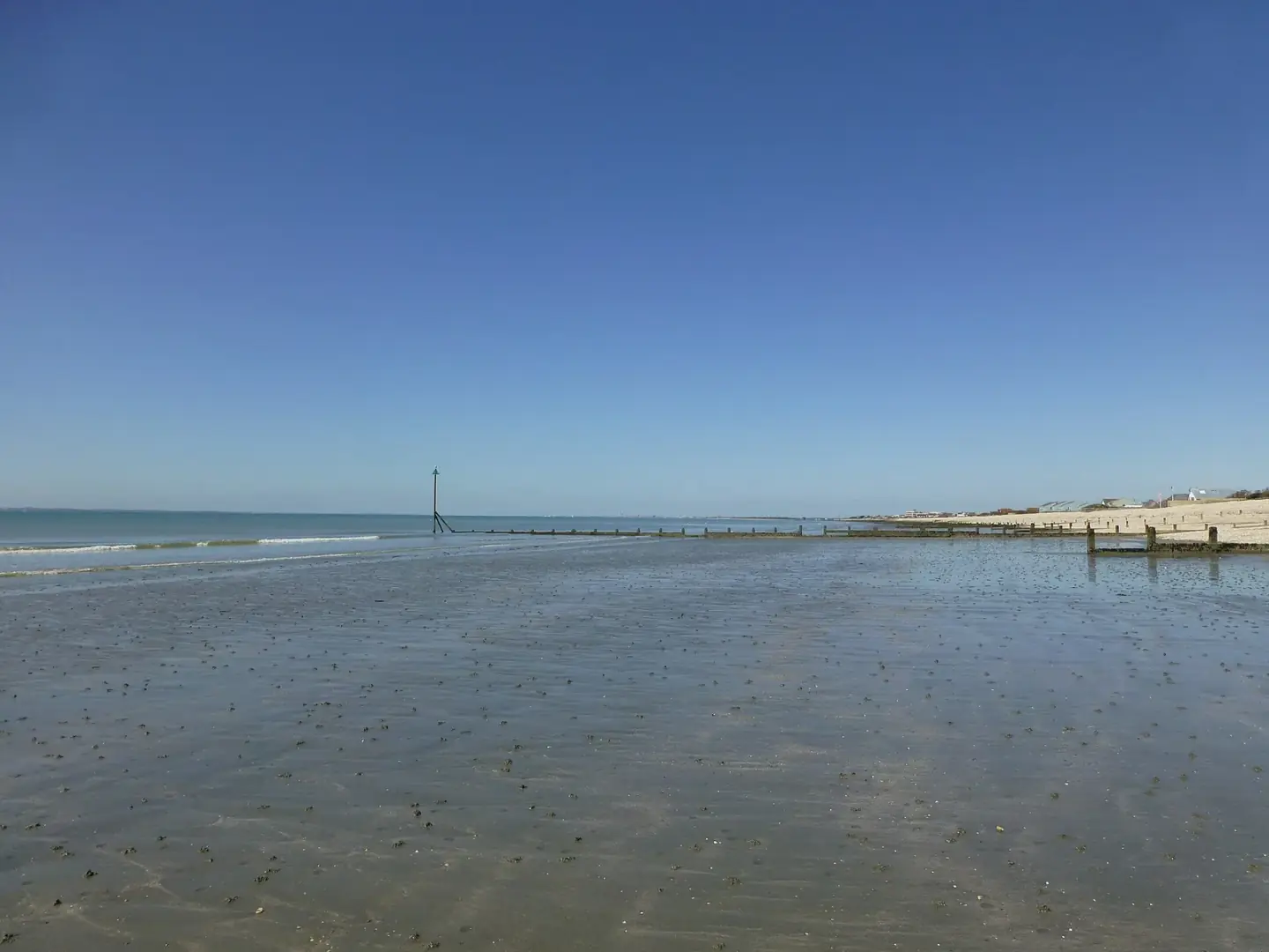
Deserted beach on Bracklesham Bay
Deserted beach on Bracklesham Bay. This photograph is used as a geographic witness to the place, not as evidence of the historical date shown in the chapter.
- Visual description
- Deserted beach on Bracklesham Bay
- Nature
- original
- Medium
- Open-licence photograph
- Source
- Wikimedia Commons / Geograph · CC BY-SA 2.0
- Reviewed
- Josh Wildman
ABOUT 46 MILLION YEARS AGO
Bracklesham Bay
An Eocene fossil shore and south-coast beachbreak shaped by tides, clay and limited swell.
Scroll to follow the shoreline through time
Bracklesham’s clays and sands were laid down in a warm Eocene estuary when southern Britain sat much farther south.
Today’s tides expose shells, shark teeth and plant remains from that lost coast.
Sources for this chapter
THE 19th CENTURY
Collectors learn to read the tide
Scientific descriptions from the nineteenth century established Bracklesham as a classic fossil locality.
Knowledge of the beach developed through observation of the short low-tide exposures.
Sources for this chapter
THE SEASIDE YEARS
Road access opens a low coast
Twentieth-century coastal development made the flat Manhood Peninsula and its beaches easy to reach.
Bracklesham became both a local recreation shore and a field site for amateur geology.
Sources for this chapter
Open ledger · AOD.UK.BRACKLESHAM.V01 · ORIGINALClose ledger · AOD.UK.BRACKLESHAM.V01
Ledger AOD.UK.BRACKLESHAM.V01
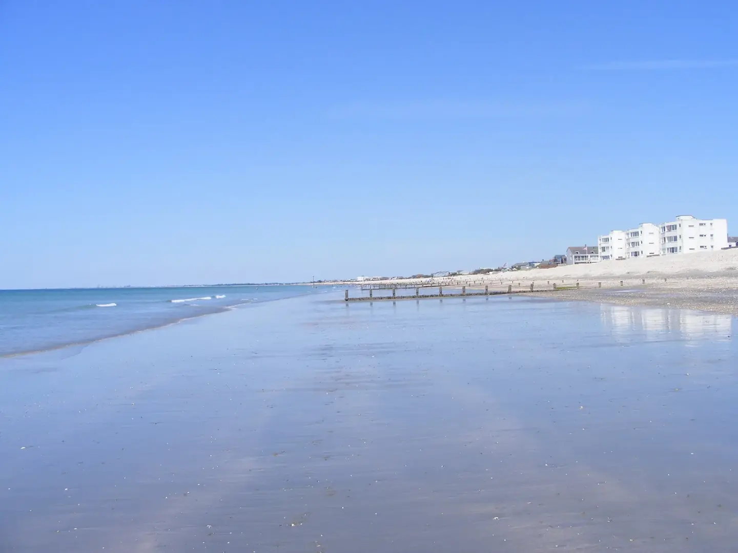
A quiet section of Bracklesham Bay beach
A quiet section of Bracklesham Bay beach. This photograph is used as a geographic witness to the place, not as evidence of the historical date shown in the chapter.
- Visual description
- A quiet section of Bracklesham Bay beach
- Nature
- original
- Medium
- Open-licence photograph
- Source
- Wikimedia Commons / Geograph · CC BY-SA 2.0
- Reviewed
- Josh Wildman
THE SURF ERA
Surfing waits for the right window
Wetsuits made south-coast surfing practical year-round, but the bay’s shelter means rideable waves remain conditional.
The same tide that reveals fossils also changes the banks and depth available to a swell.
Sources for this chapter
THE LIVING MAP
The mapped place
Bracklesham Bay is recorded at 50.763° N, 0.859° W. A surf map fixes a name to one stretch of moving water, but the place changes with tide, swell direction, wind and the shape of the seabed.
Sources for this chapter
Open ledger · AOD.UK.BRACKLESHAM.V00 · ORIGINALClose ledger · AOD.UK.BRACKLESHAM.V00
Ledger AOD.UK.BRACKLESHAM.V00
Deserted beach on Bracklesham Bay
Deserted beach on Bracklesham Bay. This photograph is used as a geographic witness to the place, not as evidence of the historical date shown in the chapter.
- Visual description
- Deserted beach on Bracklesham Bay
- Nature
- original
- Medium
- Open-licence photograph
- Source
- Wikimedia Commons / Geograph · CC BY-SA 2.0
- Reviewed
- Josh Wildman
TODAY
Two ways of reading one beach
Bracklesham is used by surfers, fossil hunters and ordinary beach visitors.
Each arrives with a forecast of sorts: swell and wind for one, tide and recent erosion for another.
Sources for this chapter
THE LEDGER
Sources and credits
This exhibition is built from local, institutional and sporting records. The source ledger keeps the claims visible and leaves space for correction as further local evidence emerges.
Sources for this chapter
Artefacts in order of appearance
Deserted beach on Bracklesham Bay
AOD.UK.BRACKLESHAM.V00 · original · Wikimedia Commons / Geograph · CC BY-SA 2.0
A quiet section of Bracklesham Bay beach
AOD.UK.BRACKLESHAM.V01 · original · Wikimedia Commons / Geograph · CC BY-SA 2.0
Editorial record
Full UK edition. Historical claims are linked to the local, public and sporting records used to write the exhibition. Cartography is generated from the PeakWave location catalogue.