Open ledger · AOD.UK.BOURNEMOUTH.V00 · ORIGINALClose ledger · AOD.UK.BOURNEMOUTH.V00
Ledger AOD.UK.BOURNEMOUTH.V00
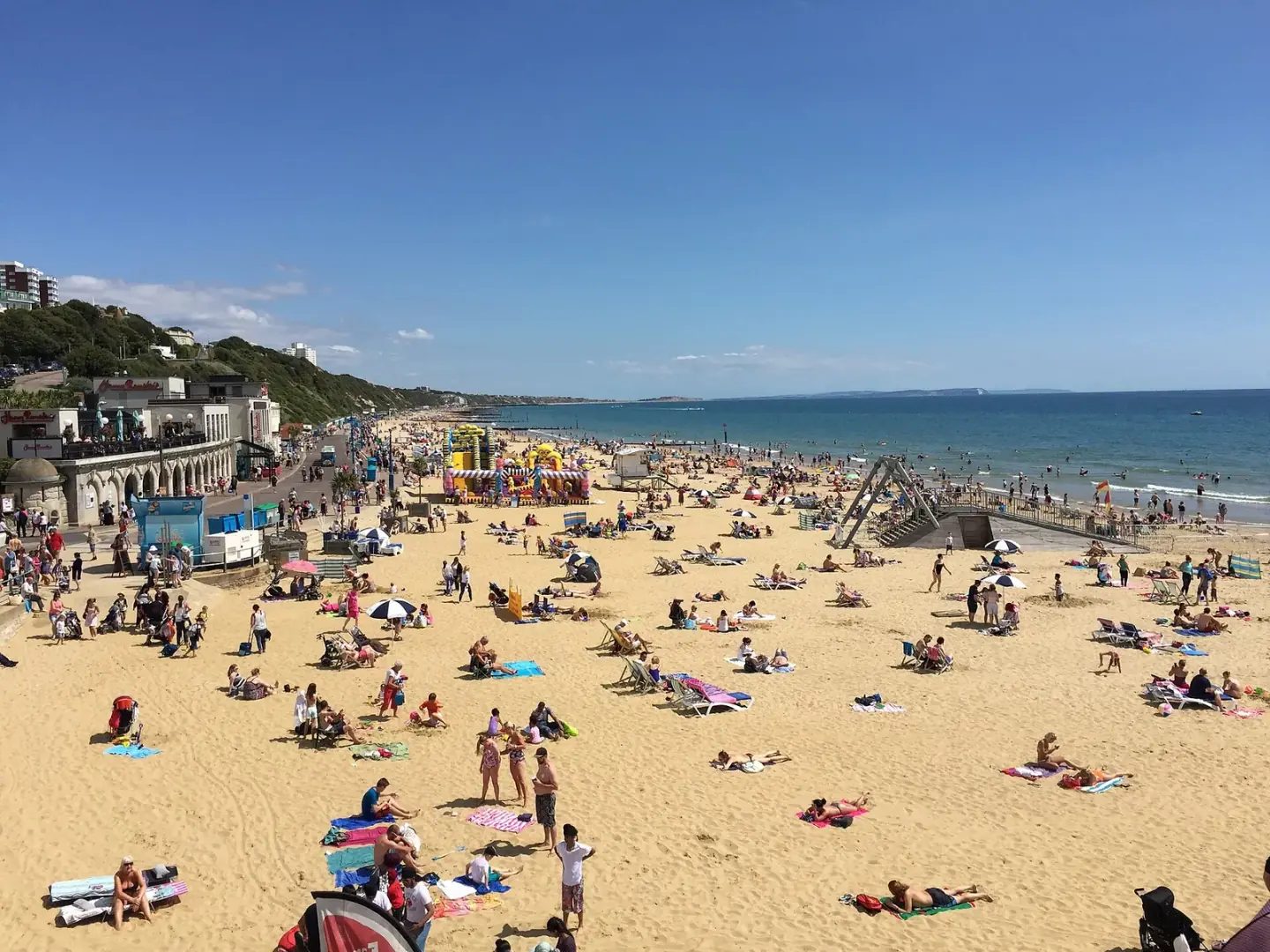
Bournemouth beach
Bournemouth beach. This photograph is used as a geographic witness to the place, not as evidence of the historical date shown in the chapter.
- Visual description
- Bournemouth beach
- Nature
- original
- Medium
- Open-licence photograph
- Source
- Wikimedia Commons / Geograph · CC BY-SA 2.0
- Reviewed
- Josh Wildman
BEFORE THE TOWN
Bournemouth
A town invented by seaside access, later home to Britain’s most argued-over artificial surf reef.
Scroll to follow the shoreline through time
Bournemouth occupies a broad, gently curving bay beneath cliffs and former heath.
Its shelter creates a beach attractive for bathing but less consistently exposed to swell than Britain’s Atlantic coasts.
Sources for this chapter
1810
A town begins with a visit to the beach
Lewis Tregonwell, regarded as Bournemouth’s founder, visited with his wife in 1810 and settled.
The town grew around the health and leisure value assigned to the shore.
Sources for this chapter
LATE 19th CENTURY
Railways join the resort
Boscombe and Springbourne became part of the growing town in 1876.
Rail and urban development turned a scattered coastal settlement into a large resort with a continuous public seafront.
Sources for this chapter
Open ledger · AOD.UK.BOURNEMOUTH.V01 · ORIGINALClose ledger · AOD.UK.BOURNEMOUTH.V01
Ledger AOD.UK.BOURNEMOUTH.V01
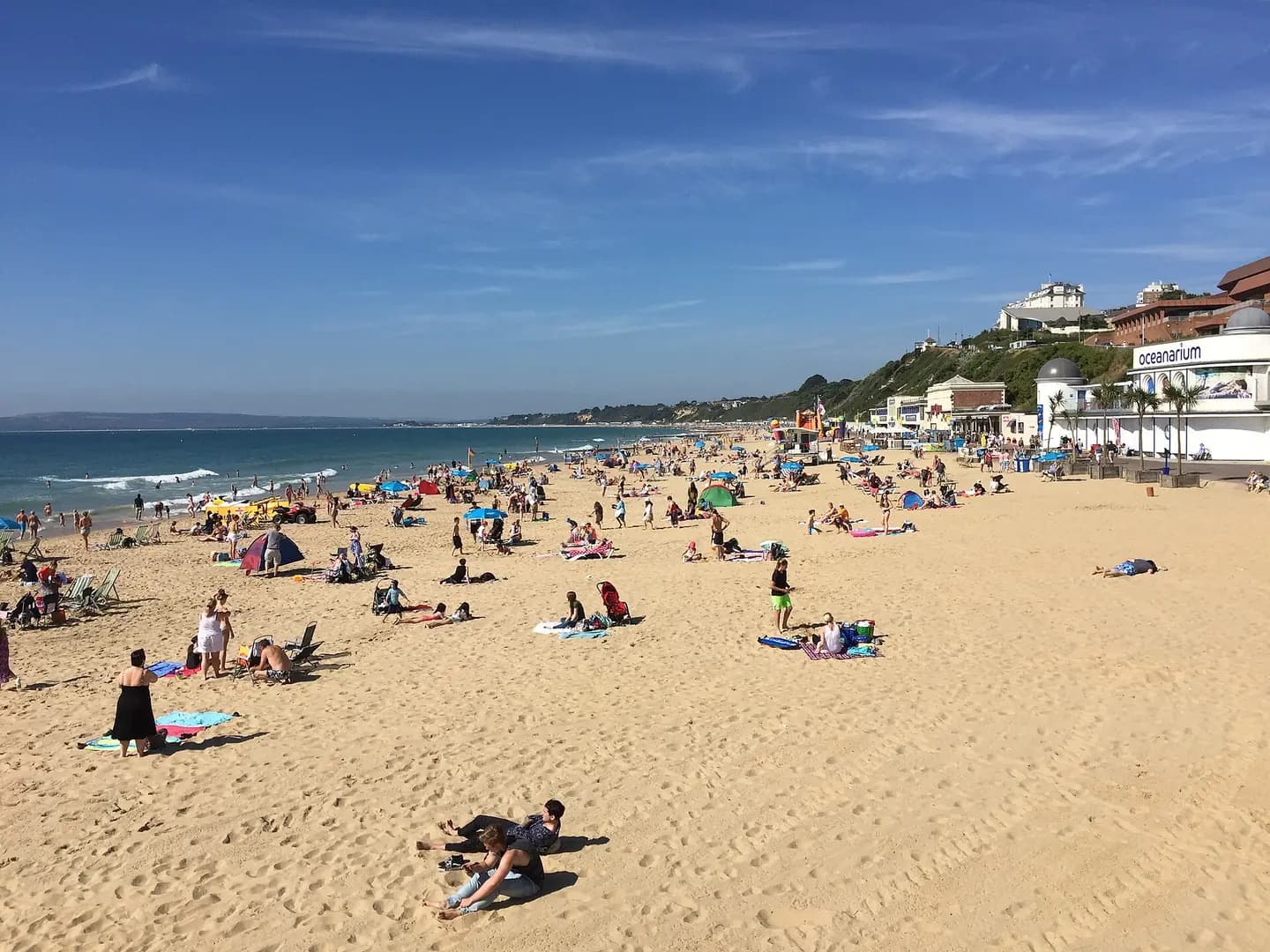
Bournemouth beach
Bournemouth beach. This photograph is used as a geographic witness to the place, not as evidence of the historical date shown in the chapter.
- Visual description
- Bournemouth beach
- Nature
- original
- Medium
- Open-licence photograph
- Source
- Wikimedia Commons / Geograph · CC BY-SA 2.0
- Reviewed
- Josh Wildman
2008–2011
The artificial reef experiment
Boscombe’s sand-filled artificial reef was built as the centrepiece of seafront regeneration and opened in 2009.
It became a case study in the gap between a promised surf intervention, complex coastal engineering and the wave surfers actually received.
Sources for this chapter
THE LIVING MAP
The mapped place
Bournemouth is recorded at 50.714° N, 1.875° W. A surf map fixes a name to one stretch of moving water, but the place changes with tide, swell direction, wind and the shape of the seabed.
Sources for this chapter
Open ledger · AOD.UK.BOURNEMOUTH.V00 · ORIGINALClose ledger · AOD.UK.BOURNEMOUTH.V00
Ledger AOD.UK.BOURNEMOUTH.V00
Bournemouth beach
Bournemouth beach. This photograph is used as a geographic witness to the place, not as evidence of the historical date shown in the chapter.
- Visual description
- Bournemouth beach
- Nature
- original
- Medium
- Open-licence photograph
- Source
- Wikimedia Commons / Geograph · CC BY-SA 2.0
- Reviewed
- Josh Wildman
TODAY
A surf community beyond the failed promise
Boscombe remains Bournemouth’s main watersports base, with schools, hire and a local line-up.
Its surf history is more interesting for acknowledging the reef’s limits than pretending a civic project created the community.
Sources for this chapter
THE LEDGER
Sources and credits
This exhibition is built from local, institutional and sporting records. The source ledger keeps the claims visible and leaves space for correction as further local evidence emerges.
Sources for this chapter
Artefacts in order of appearance
Bournemouth beach
AOD.UK.BOURNEMOUTH.V00 · original · Wikimedia Commons / Geograph · CC BY-SA 2.0
Bournemouth beach
AOD.UK.BOURNEMOUTH.V01 · original · Wikimedia Commons / Geograph · CC BY-SA 2.0
Editorial record
Full UK edition. Historical claims are linked to the local, public and sporting records used to write the exhibition. Cartography is generated from the PeakWave location catalogue.