Open ledger · AOD.US.BLACKS-BEACH.V00 · ORIGINALClose ledger · AOD.US.BLACKS-BEACH.V00
Ledger AOD.US.BLACKS-BEACH.V00
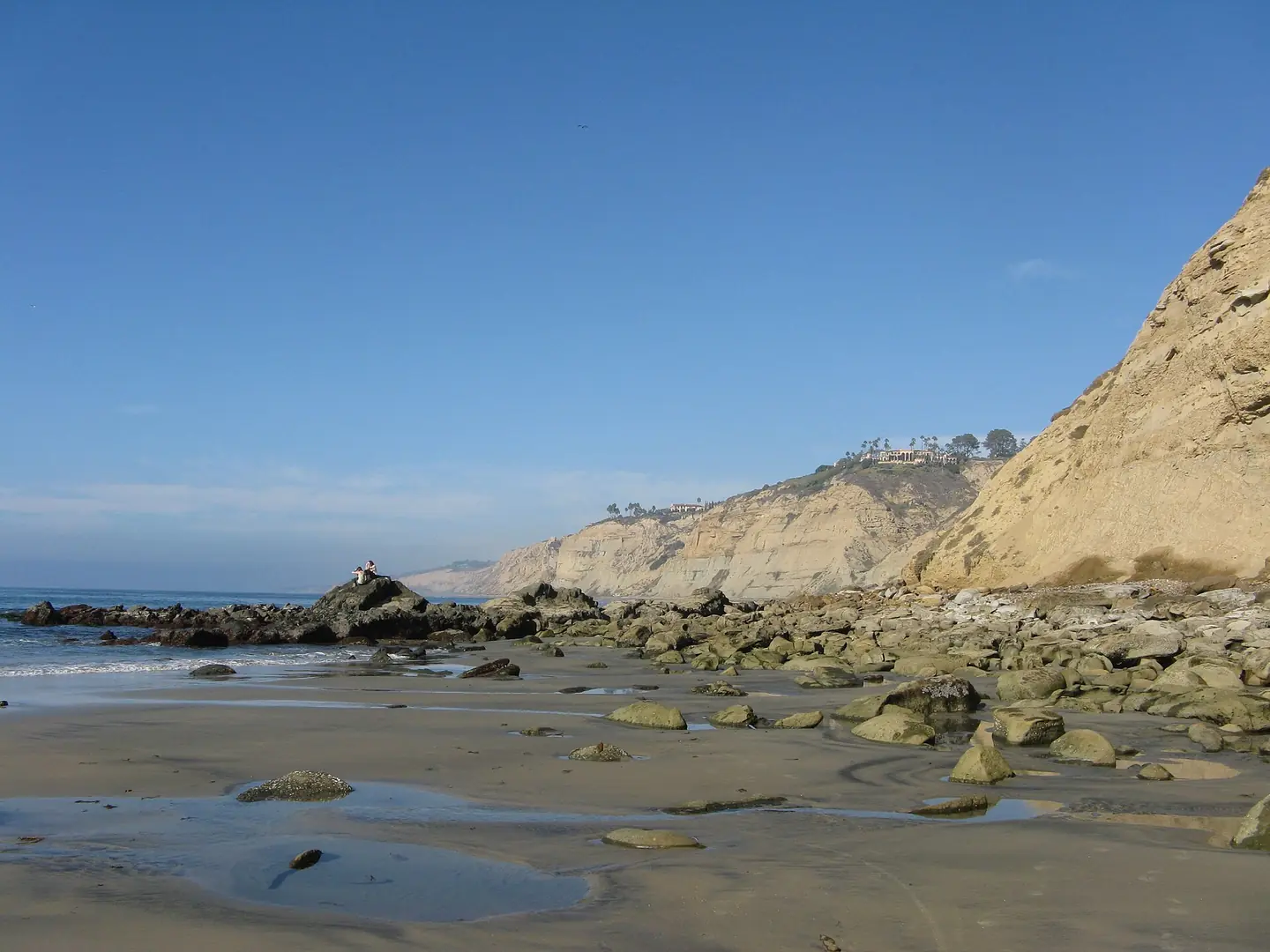
Blacks-Beach-South Access-From-Scripps-Beach
Blacks-Beach-South Access-From-Scripps-Beach. This photograph is used as a geographic witness to the place, not as evidence of the historical date shown in the chapter.
- Visual description
- Blacks-Beach-South Access-From-Scripps-Beach
- Nature
- original
- Medium
- Open-licence photograph
- Source
- Wikimedia Commons · CC BY-SA 3.0
BEFORE MODERN SPORT
Blacks Beach
How work, access and surfing shaped Blacks Beach.
Scroll to follow the shoreline through time
Black's Beach is a secluded section of beach beneath the bluffs of Torrey Pines on the Pacific Ocean in La Jolla, a community of San Diego, California.
Sources for this chapter
BEFORE TOURISM
Work at the water’s edge
Black's Beach was named for the Black family who had a horse ranch overlooking the beach.
Sources for this chapter
ACCESS CHANGES
The shore becomes reachable
Access remains part of Black’s Beach’s identity.
Visitors descend steep paths from the Torrey Pines cliffs or approach along the shore.
Open ledger · AOD.US.BLACKS-BEACH.V01 · ORIGINALClose ledger · AOD.US.BLACKS-BEACH.V01
Ledger AOD.US.BLACKS-BEACH.V01
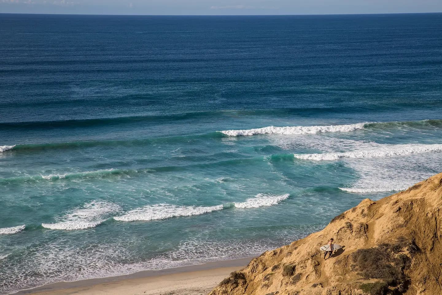
Black's Beach Surfer
San Diego, California. This photograph is used as a geographic witness to the place, not as evidence of the historical date shown in the chapter.
- Visual description
- San Diego, California
- Nature
- original
- Medium
- Open-licence photograph
- Source
- Wikimedia Commons · CC BY 2.0
ORGANISED SPORT
Surfing reads the same coast differently
Black’s Beach is recognised as a surf break below the Torrey Pines cliffs, where deep water and submarine-canyon bathymetry help focus swell.
THE LIVING MAP
The mapped place
Blacks Beach is recorded at 32.889° N, 117.255° W. A surf map fixes a name to one stretch of moving water, but the place changes with tide, swell direction, wind and the shape of the seabed.
Sources for this chapter
Open ledger · AOD.US.BLACKS-BEACH.V00 · ORIGINALClose ledger · AOD.US.BLACKS-BEACH.V00
Ledger AOD.US.BLACKS-BEACH.V00
Blacks-Beach-South Access-From-Scripps-Beach
Blacks-Beach-South Access-From-Scripps-Beach. This photograph is used as a geographic witness to the place, not as evidence of the historical date shown in the chapter.
- Visual description
- Blacks-Beach-South Access-From-Scripps-Beach
- Nature
- original
- Medium
- Open-licence photograph
- Source
- Wikimedia Commons · CC BY-SA 3.0
TODAY
Blacks Beach now
Salk Canyon Road from UCSD – Students from the University of California, San Diego have access to this steep, 0.5-mile (0.80 km) long, gated, paved road at the southern end of Black's Beach, which is popular with surfers.
THE LEDGER
Sources and credits
This exhibition is built from local, institutional and sporting records. The source ledger keeps the claims visible and leaves space for correction as further local evidence emerges.
Sources for this chapter
Artefacts in order of appearance
Blacks-Beach-South Access-From-Scripps-Beach
AOD.US.BLACKS-BEACH.V00 · original · Wikimedia Commons · CC BY-SA 3.0
Black's Beach Surfer
AOD.US.BLACKS-BEACH.V01 · original · Wikimedia Commons · CC BY 2.0
Editorial record
Full US Beta edition. Place evidence is adapted from the linked Black's Beach overview under CC BY-SA 4.0 and remains subject to named historical and local review. Cartography is generated from the PeakWave location catalogue.