Open ledger · AOD.US.BISCAYNE-BAY.V00 · ORIGINALClose ledger · AOD.US.BISCAYNE-BAY.V00
Ledger AOD.US.BISCAYNE-BAY.V00
Biscayne Bay FL1
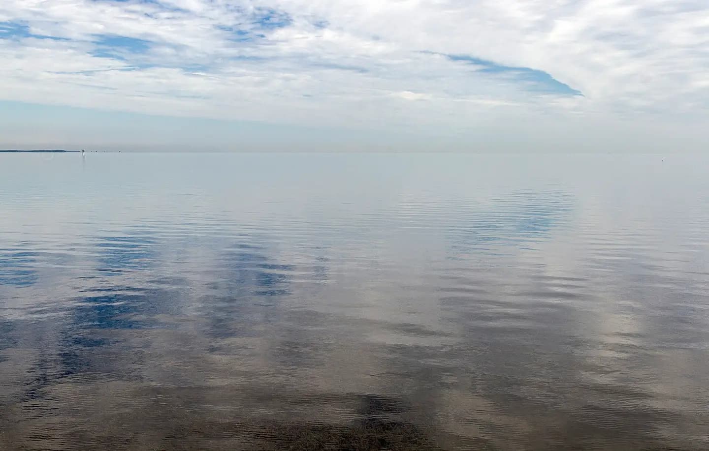
Biscayne Bay, Florida, USA. This photograph is used as a geographic witness to the place, not as evidence of the historical date shown in the chapter.
- Visual description
- Biscayne Bay, Florida, USA
- Nature
- original
- Medium
- Open-licence photograph
- Source
- Wikimedia Commons · CC BY-SA 4.0
BEFORE MODERN SPORT
Biscayne Bay
How working water, access and organised sailing shaped Biscayne Bay.
Scroll to read the water through time
Biscayne Bay is a lagoon with characteristics of an estuary located on the Atlantic coast of South Florida.
Sources for this chapter
BEFORE TOURISM
A working shore
Dodge Island, across the main ship channel to the south of the MacArthur Causeway, was enlarged in the 1960s when the Port of Miami was moved there from the mainland north of Bayfront Park.
Sources for this chapter
1920
The route to the water
The bridge was a toll bridge; in 1920, the toll was reduced from 20 cents each way (for two-seat cars) to 15 cents one way (and 25 cents round-trip).
Open ledger · AOD.US.BISCAYNE-BAY.V01 · ORIGINALClose ledger · AOD.US.BISCAYNE-BAY.V01
Ledger AOD.US.BISCAYNE-BAY.V01
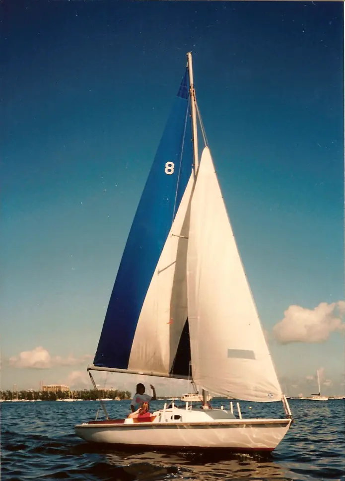
Pearson Ensign sailboat
A photograph of an Ensign sailboat taken on Biscayne Bay (Miami, FL, USA) around 1994. This photograph is used as a geographic witness to the place, not as evidence of the historical date shown in the chapter.
- Visual description
- A photograph of an Ensign sailboat taken on Biscayne Bay (Miami, FL, USA) around 1994
- Nature
- original
- Medium
- Open-licence photograph
- Source
- Wikimedia Commons · CC BY 3.0
2006
Sailing becomes organised
CGSC hosted the Snipe Western Hemisphere & Orient Championship in 2006, and has been the longtime host of the Don Q Snipe Regatta.
THE LIVING MAP
The mapped place
Biscayne Bay is recorded at 25.730° N, 80.170° W as a coastal open venue. A course drawn here is temporary: wind, current, shore and marks determine the water that sailors actually meet.
Sources for this chapter
Open ledger · AOD.US.BISCAYNE-BAY.V00 · ORIGINALClose ledger · AOD.US.BISCAYNE-BAY.V00
Ledger AOD.US.BISCAYNE-BAY.V00
Biscayne Bay FL1
Biscayne Bay, Florida, USA. This photograph is used as a geographic witness to the place, not as evidence of the historical date shown in the chapter.
- Visual description
- Biscayne Bay, Florida, USA
- Nature
- original
- Medium
- Open-licence photograph
- Source
- Wikimedia Commons · CC BY-SA 4.0
TODAY
Biscayne Bay now
Biscayne Bay remains both a protected estuary and an urban sailing ground, with clubs and racecourses sharing water beside metropolitan Miami.
THE LEDGER
Sources and credits
This exhibition is built from local, institutional and sporting records. The source ledger keeps the claims visible and leaves space for correction as further local evidence emerges.
Sources for this chapter
Artefacts in order of appearance
Biscayne Bay FL1
AOD.US.BISCAYNE-BAY.V00 · original · Wikimedia Commons · CC BY-SA 4.0
Pearson Ensign sailboat
AOD.US.BISCAYNE-BAY.V01 · original · Wikimedia Commons · CC BY 3.0
Editorial record
Full US Beta edition. Place evidence is adapted from the linked Biscayne Bay overview under CC BY-SA 4.0 and remains subject to named historical and local review. Cartography is generated from the PeakWave location catalogue.