Open ledger · AOD.UK.BANTHAM.V00 · ORIGINALClose ledger · AOD.UK.BANTHAM.V00
Ledger AOD.UK.BANTHAM.V00
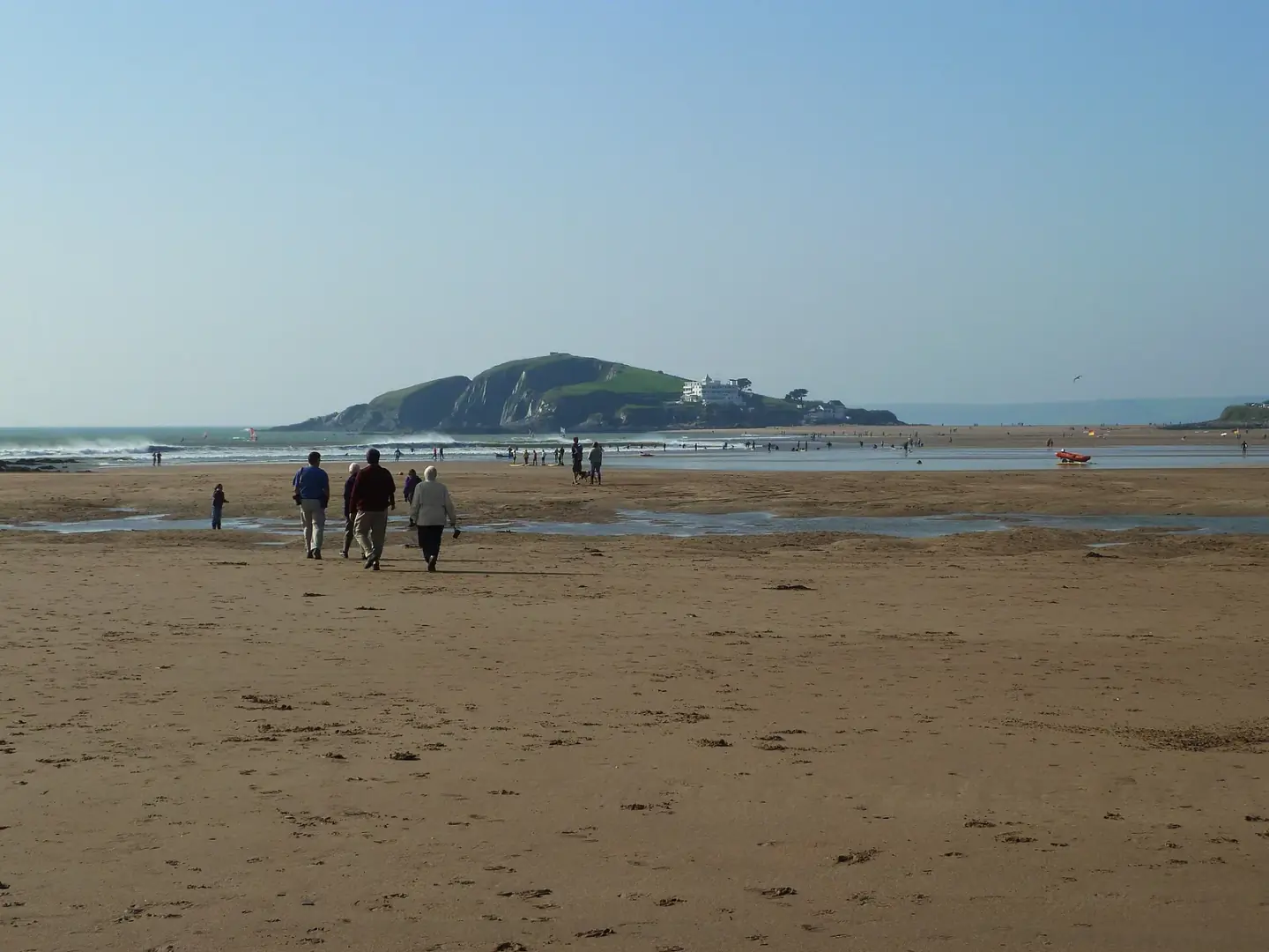
Bantham Beach looking towards Burgh Island
Bantham Beach looking towards Burgh Island. This photograph is used as a geographic witness to the place, not as evidence of the historical date shown in the chapter.
- Visual description
- Bantham Beach looking towards Burgh Island
- Nature
- original
- Medium
- Open-licence photograph
- Source
- Wikimedia Commons / Geograph · CC BY-SA 2.0
- Reviewed
- Josh Wildman
THE AVON ESTUARY
Bantham
A pilchard port at the mouth of the Avon that became a South Devon surf beach.
Scroll to follow the shoreline through time
Bantham sits where the River Avon reaches a sandbar and the open Channel.
River flow, tide and shifting banks create a beach whose shape is never completely fixed.
Sources for this chapter
17th–19th CENTURIES
A quay built for pilchards
The working quay dates from the seventeenth century, when Bantham was a centre of the pilchard trade.
Vessels also landed coal, stone and agricultural supplies for the surrounding district.
Sources for this chapter
EARLY 20th CENTURY
The river silts, the roads improve
Pleasure steamers called from Plymouth until 1928, but silting after the Avon Dam and the growth of road transport ended much of the old port activity.
The shore’s purpose began to change.
Sources for this chapter
Open ledger · AOD.UK.BANTHAM.V01 · ORIGINALClose ledger · AOD.UK.BANTHAM.V01
Ledger AOD.UK.BANTHAM.V01
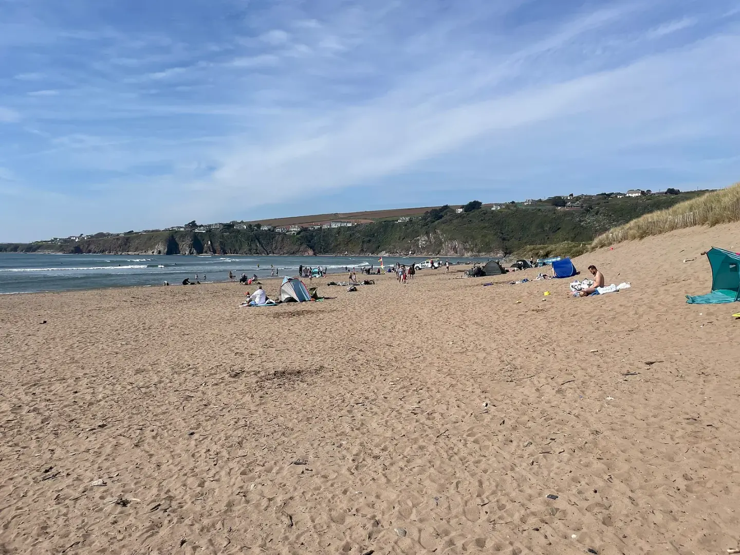
Enjoying Bantham Beach
Enjoying Bantham Beach. This photograph is used as a geographic witness to the place, not as evidence of the historical date shown in the chapter.
- Visual description
- Enjoying Bantham Beach
- Nature
- original
- Medium
- Open-licence photograph
- Source
- Wikimedia Commons / Geograph · CC BY-SA 2.0
- Reviewed
- Josh Wildman
THE SURF YEARS
The beach enters the regional surf map
Fibreglass boards, wetsuits and cars brought sustained surfing to Devon.
Bantham’s river-influenced peaks made it a distinct South Devon break rather than an extension of the north-coast scene.
Sources for this chapter
THE LIVING MAP
The mapped place
Bantham is recorded at 50.276° N, 3.871° W. A surf map fixes a name to one stretch of moving water, but the place changes with tide, swell direction, wind and the shape of the seabed.
Sources for this chapter
Open ledger · AOD.UK.BANTHAM.V00 · ORIGINALClose ledger · AOD.UK.BANTHAM.V00
Ledger AOD.UK.BANTHAM.V00
Bantham Beach looking towards Burgh Island
Bantham Beach looking towards Burgh Island. This photograph is used as a geographic witness to the place, not as evidence of the historical date shown in the chapter.
- Visual description
- Bantham Beach looking towards Burgh Island
- Nature
- original
- Medium
- Open-licence photograph
- Source
- Wikimedia Commons / Geograph · CC BY-SA 2.0
- Reviewed
- Josh Wildman
TODAY
An estate beach with a working village behind it
Bantham now carries surfing, holidays and coastal walking alongside a small permanent community and traditional boat work.
The estuary’s changing sand still decides what the modern beach can offer.
Sources for this chapter
THE LEDGER
Sources and credits
This exhibition is built from local, institutional and sporting records. The source ledger keeps the claims visible and leaves space for correction as further local evidence emerges.
Sources for this chapter
Artefacts in order of appearance
Bantham Beach looking towards Burgh Island
AOD.UK.BANTHAM.V00 · original · Wikimedia Commons / Geograph · CC BY-SA 2.0
Enjoying Bantham Beach
AOD.UK.BANTHAM.V01 · original · Wikimedia Commons / Geograph · CC BY-SA 2.0
Editorial record
Full UK edition. Historical claims are linked to the local, public and sporting records used to write the exhibition. Cartography is generated from the PeakWave location catalogue.