Open ledger · AOD.UK.BAMBURGH.V00 · ORIGINALClose ledger · AOD.UK.BAMBURGH.V00
Ledger AOD.UK.BAMBURGH.V00
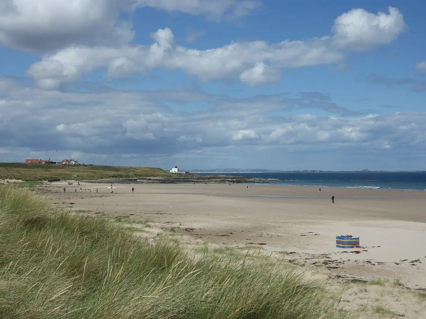
Bamburgh Beach
Bamburgh Beach. This photograph is used as a geographic witness to the place, not as evidence of the historical date shown in the chapter.
- Visual description
- Bamburgh Beach
- Nature
- original
- Medium
- Open-licence photograph
- Source
- Wikimedia Commons / Geograph · CC BY-SA 2.0
- Reviewed
- Josh Wildman
THE COASTAL ROCK
Bamburgh
A surf beach below the former royal centre of Northumbria.
Scroll to follow the shoreline through time
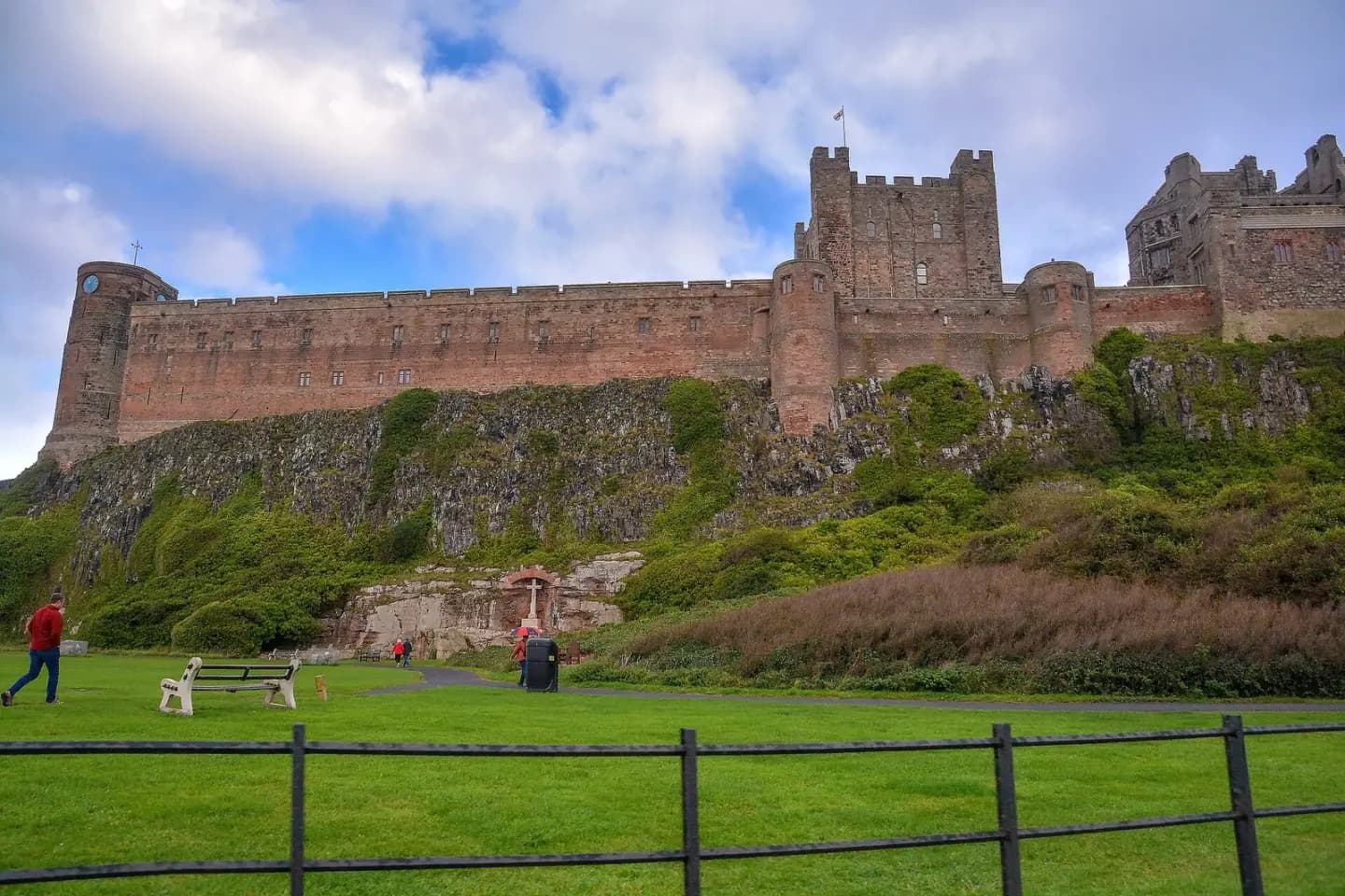
Bamburgh’s beach runs beneath a castle built on a hard volcanic outcrop.
Sand, dunes and open North Sea water form a softer moving edge below the fixed high ground.
Sources for this chapter
EARLY MEDIEVAL NORTHUMBRIA
Din Guaroy becomes Bebbanburg
Bamburgh was a royal centre of Northumbria.
Its older name Din Guaroy became Bebbanburg after Queen Bebba, placing today’s quiet village inside the political geography of an early kingdom.
Sources for this chapter
NORMAN–VICTORIAN
The castle watches the shore
The Norman stronghold later served coastal rescue as well as defence.
Watch systems, beach patrols and equipment for helping wrecked ships made the castle’s relationship with the sea practical.
Sources for this chapter
Open ledger · AOD.UK.BAMBURGH.V01 · ORIGINALClose ledger · AOD.UK.BAMBURGH.V01
Ledger AOD.UK.BAMBURGH.V01
Bamburgh , Bamburgh Castle
Bamburgh : Bamburgh Castle. This photograph is used as a geographic witness to the place, not as evidence of the historical date shown in the chapter.
- Visual description
- Bamburgh : Bamburgh Castle
- Nature
- original
- Medium
- Open-licence photograph
- Source
- Wikimedia Commons / Geograph · CC BY-SA 2.0
- Reviewed
- Josh Wildman
LATE 20th CENTURY
Cold-water surfing arrives
Wetsuits and road travel brought regular surfing to Northumberland’s beaches.
Bamburgh’s open sand offered waves in a landscape better known nationally for castle and pilgrimage.
THE LIVING MAP
The mapped place
Bamburgh is recorded at 55.607° N, 1.712° W. A surf map fixes a name to one stretch of moving water, but the place changes with tide, swell direction, wind and the shape of the seabed.
Sources for this chapter
Open ledger · AOD.UK.BAMBURGH.V00 · ORIGINALClose ledger · AOD.UK.BAMBURGH.V00
Ledger AOD.UK.BAMBURGH.V00
Bamburgh Beach
Bamburgh Beach. This photograph is used as a geographic witness to the place, not as evidence of the historical date shown in the chapter.
- Visual description
- Bamburgh Beach
- Nature
- original
- Medium
- Open-licence photograph
- Source
- Wikimedia Commons / Geograph · CC BY-SA 2.0
- Reviewed
- Josh Wildman
TODAY
Several histories in one view
Surfers now share the beach with walkers, local families and visitors following the stories of Northumbria and Grace Darling.
The place is strongest when none of those histories is made to erase the others.
Sources for this chapter
THE LEDGER
Sources and credits
This exhibition is built from local, institutional and sporting records. The source ledger keeps the claims visible and leaves space for correction as further local evidence emerges.
Sources for this chapter
Artefacts in order of appearance
Bamburgh Beach
AOD.UK.BAMBURGH.V00 · original · Wikimedia Commons / Geograph · CC BY-SA 2.0
Bamburgh , Bamburgh Castle
AOD.UK.BAMBURGH.V01 · original · Wikimedia Commons / Geograph · CC BY-SA 2.0
Editorial record
Full UK edition. Historical claims are linked to the local, public and sporting records used to write the exhibition. Cartography is generated from the PeakWave location catalogue.