
Open ledger · AOD.EU.BALEAL.V00 · ORIGINALClose ledger · AOD.EU.BALEAL.V00
Ledger AOD.EU.BALEAL.V00
Oeste Wikivoyage Banner
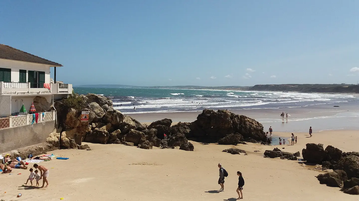
Beach at Praia do Baleal, Ferrel, Peniche, Portugal. This photograph is used as a geographic witness to the place, not as evidence of the historical date shown in the chapter.
- Visual description
- Beach at Praia do Baleal, Ferrel, Peniche, Portugal
- Nature
- original
- Medium
- Open-licence photograph
- Source
- Wikimedia Commons · CC BY-SA 2.0
BEFORE MODERN SPORT
Baleal
How work, access and surfing shaped Baleal.
Scroll to follow the shoreline through time
Peniche , officially the City of Peniche (Portuguese: Cidade de Peniche), is a seaside municipality and a city in the Oeste region, in the historical province of Estremadura, and in the Leiria District.
Sources for this chapter
BEFORE TOURISM
Work at the water’s edge
Since ancient times Peniche has been an important fishing harbour.
Sources for this chapter
ACCESS CHANGES
The shore becomes reachable
The surviving overview does not identify one decisive access date for Baleal.
This edition therefore leaves that date open rather than turning gradual change into a false single event.
Sources for this chapter
Open ledger · AOD.EU.BALEAL.V01 · ORIGINALClose ledger · AOD.EU.BALEAL.V01
Ledger AOD.EU.BALEAL.V01
Baleal, Peniche
Baleal, Peniche. This photograph is used as a geographic witness to the place, not as evidence of the historical date shown in the chapter.
- Visual description
- Baleal, Peniche
- Nature
- original
- Medium
- Open-licence photograph
- Source
- Wikimedia Commons · CC BY 2.0
ORGANISED SPORT
Surfing reads the same coast differently
These beaches are consistently windy and have good surf breaks with Supertubos, i.e., waves forming fast and powerful tubes, considered among the best in Europe.
Sources for this chapter
THE LIVING MAP
The mapped place
Baleal is recorded at 39.370° N, 9.344° W. A surf map fixes a name to one stretch of moving water, but the place changes with tide, swell direction, wind and the shape of the seabed.
Sources for this chapter
Open ledger · AOD.EU.BALEAL.V00 · ORIGINALClose ledger · AOD.EU.BALEAL.V00
Ledger AOD.EU.BALEAL.V00
Oeste Wikivoyage Banner
Beach at Praia do Baleal, Ferrel, Peniche, Portugal. This photograph is used as a geographic witness to the place, not as evidence of the historical date shown in the chapter.
- Visual description
- Beach at Praia do Baleal, Ferrel, Peniche, Portugal
- Nature
- original
- Medium
- Open-licence photograph
- Source
- Wikimedia Commons · CC BY-SA 2.0
TODAY
Baleal now
Home to many surf camps/schools, it annually hosts the MEO Rip Curl Pro Portugal from the World championship tour of the World Surf League (WSL) at the Supertubos beach.
Sources for this chapter
THE LEDGER
Sources and credits
This exhibition is built from local, institutional and sporting records. The source ledger keeps the claims visible and leaves space for correction as further local evidence emerges.
Sources for this chapter
Artefacts in order of appearance
Oeste Wikivoyage Banner
AOD.EU.BALEAL.V00 · original · Wikimedia Commons · CC BY-SA 2.0
Baleal, Peniche
AOD.EU.BALEAL.V01 · original · Wikimedia Commons · CC BY 2.0
Editorial record
Full European Beta edition. Place evidence is adapted from the linked Peniche, Portugal overview under CC BY-SA 4.0 and remains subject to named historical and local review. Cartography is generated from the PeakWave location catalogue.