Open ledger · AOD.EU.AROSA-LENZERHEIDE.V00 · ORIGINALClose ledger · AOD.EU.AROSA-LENZERHEIDE.V00
Ledger AOD.EU.AROSA-LENZERHEIDE.V00
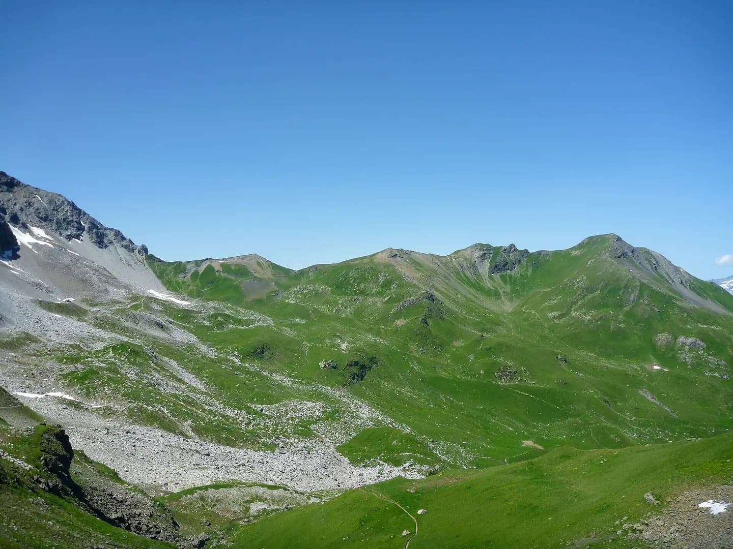
Urdenfürggli Sommer
Urdenfürggli mountain pass, Arosa/Lenzerheide, Switzerland. This photograph is used as a geographic witness to the place, not as evidence of the historical date shown in the chapter.
- Visual description
- Urdenfürggli mountain pass, Arosa/Lenzerheide, Switzerland
- Nature
- original
- Medium
- Open-licence photograph
- Source
- Wikimedia Commons · CC BY-SA 3.0
BEFORE MODERN SPORT
Arosa Lenzerheide
How settlement, access and winter sport shaped Arosa Lenzerheide.
Scroll to read the contour through time
Arosa Lenzerheide is a ski area located in Arosa, Lenzerheide, Valbella, Parpan and Churwalden, Graubünden/Switzerland.
Sources for this chapter
BEFORE TOURISM
Before the resort map
The linked local overview does not preserve a clear account of Arosa Lenzerheide before modern tourism.
This edition leaves that part of the timeline open rather than mistaking the first surviving sporting reference for the beginning of the place.
Sources for this chapter
ACCESS CHANGES
A route reaches Arosa Lenzerheide
There are 4 aerial tramways, 4 gondola lifts, 18 chair lifts (17 detachables) and 15 T-bars/button lifts: The centrepiece of the resort compound is the Urdenbahn cable car, built and operated by the Arosa Bergbahnen company.
Sources for this chapter
Open ledger · AOD.EU.AROSA-LENZERHEIDE.V01 · ORIGINALClose ledger · AOD.EU.AROSA-LENZERHEIDE.V01
Ledger AOD.EU.AROSA-LENZERHEIDE.V01
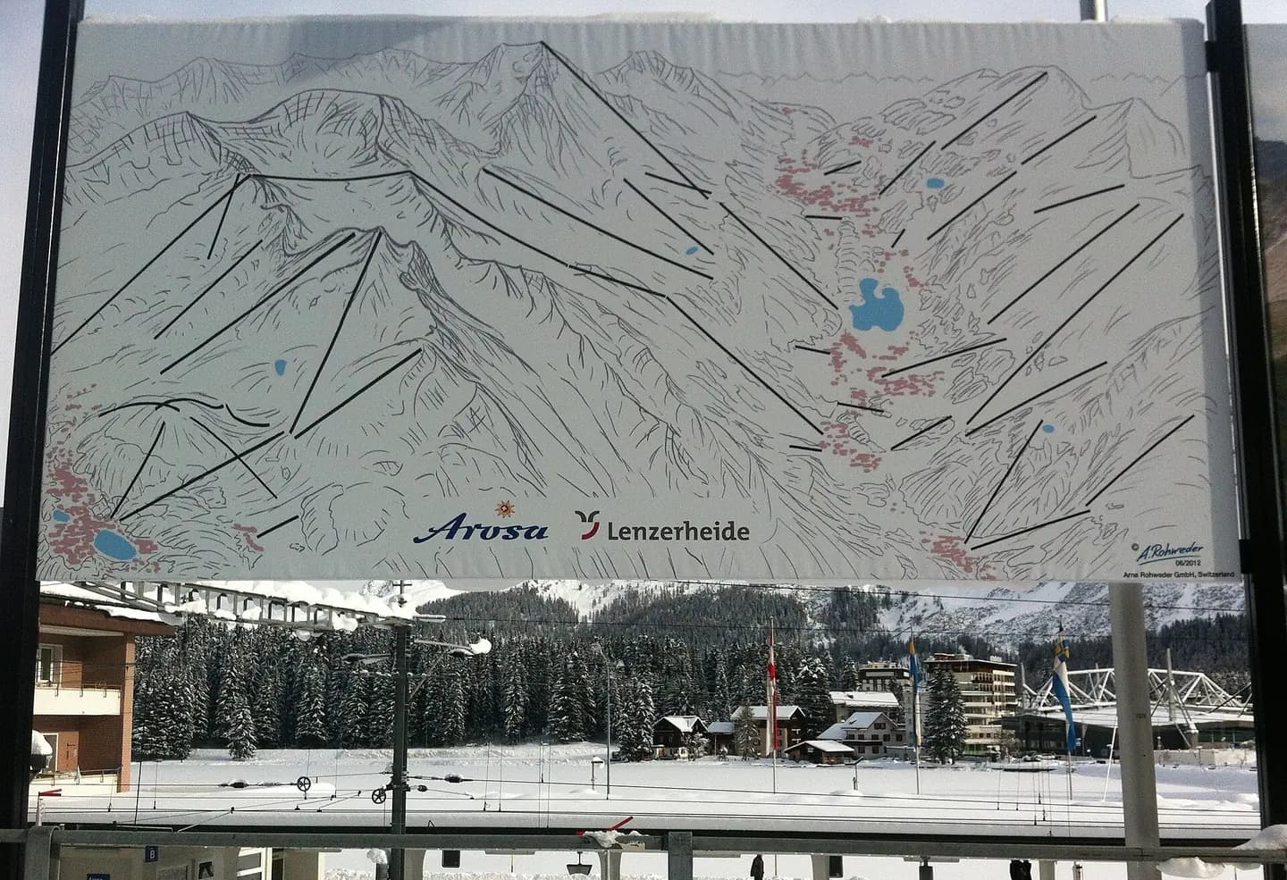
Arosa-Lenzerheide Übersichtsplan
plan overwiev of combined ski resort Arosa-Lenzerheide, Switzerland. This photograph is used as a geographic witness to the place, not as evidence of the historical date shown in the chapter.
- Visual description
- plan overwiev of combined ski resort Arosa-Lenzerheide, Switzerland
- Nature
- original
- Medium
- Open-licence photograph
- Source
- Wikimedia Commons · CC BY-SA 3.0
ORGANISED SPORT
Winter becomes organised
The ski resort is operated mainly by Arosa Bergbahnen and Lenzerheide Bergbahnen.
Sources for this chapter
THE LIVING MAP
The mapped place
Arosa Lenzerheide is recorded at 46.783° N, 9.683° E. Its catalogue reference reaches 2,865 metres. A modern resort map compresses terrain, exposure and access into a diagram. This exhibition keeps the underlying contour visible so the place does not become only a list of facilities.
Sources for this chapter
Open ledger · AOD.EU.AROSA-LENZERHEIDE.V00 · ORIGINALClose ledger · AOD.EU.AROSA-LENZERHEIDE.V00
Ledger AOD.EU.AROSA-LENZERHEIDE.V00
Urdenfürggli Sommer
Urdenfürggli mountain pass, Arosa/Lenzerheide, Switzerland. This photograph is used as a geographic witness to the place, not as evidence of the historical date shown in the chapter.
- Visual description
- Urdenfürggli mountain pass, Arosa/Lenzerheide, Switzerland
- Nature
- original
- Medium
- Open-licence photograph
- Source
- Wikimedia Commons · CC BY-SA 3.0
TODAY
Arosa Lenzerheide now
With a total of 225 kilometres (140 miles) of ski slopes and 43 cable cars it is the largest contiguous ski area in Graubünden.
Sources for this chapter
THE LEDGER
Sources and credits
This exhibition is built from local, institutional and sporting records. The source ledger keeps the claims visible and leaves space for correction as further local evidence emerges.
Sources for this chapter
Artefacts in order of appearance
Urdenfürggli Sommer
AOD.EU.AROSA-LENZERHEIDE.V00 · original · Wikimedia Commons · CC BY-SA 3.0
Arosa-Lenzerheide Übersichtsplan
AOD.EU.AROSA-LENZERHEIDE.V01 · original · Wikimedia Commons · CC BY-SA 3.0
Editorial record
Full European Beta edition. Place evidence is adapted from the linked Arosa Lenzerheide overview under CC BY-SA 4.0 and remains subject to named historical and local review. Cartography is generated from the PeakWave location catalogue.