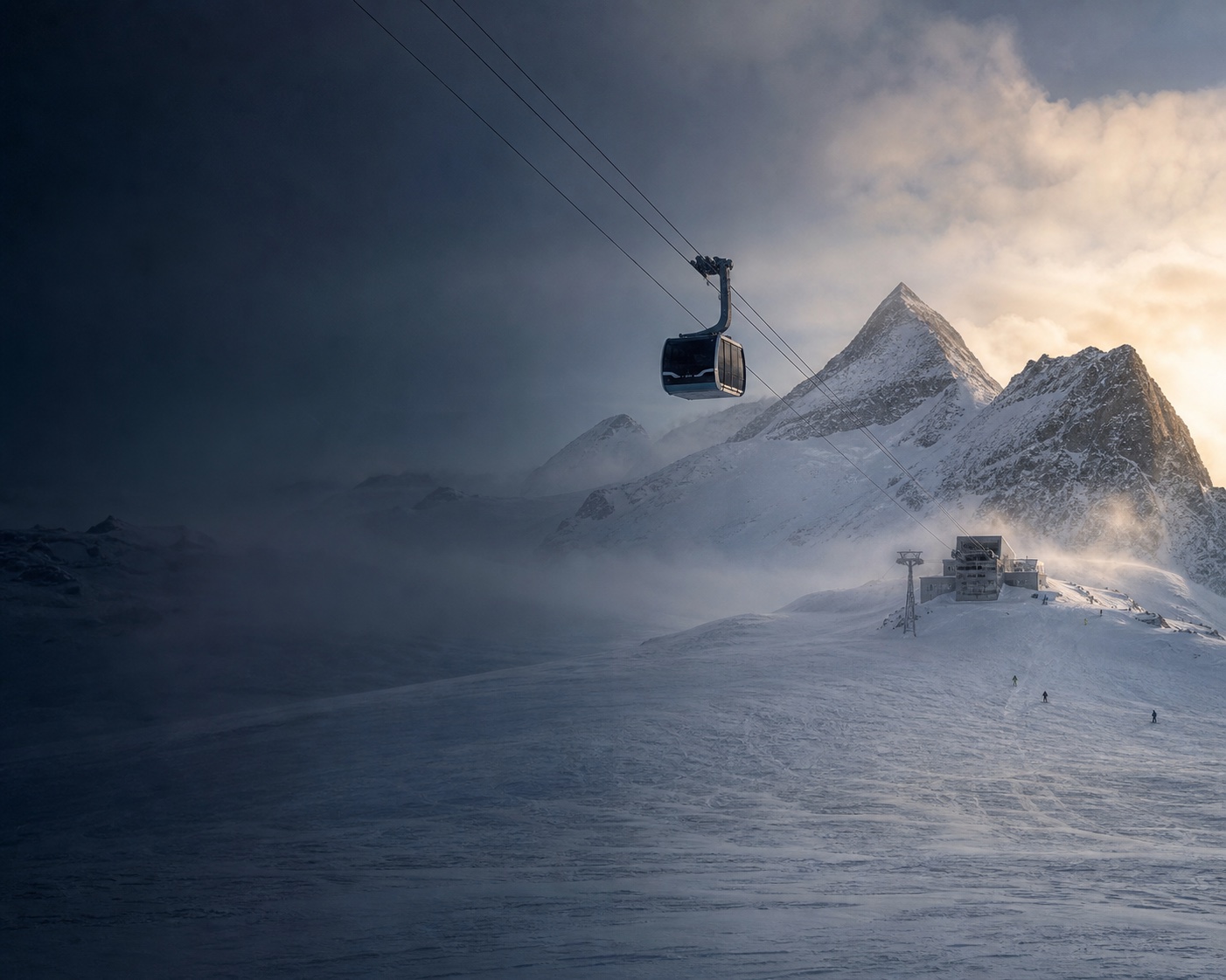
As of 11:36 CET on 10 November 2026, Hintertux Glacier scores 23/100 (Challenging) for piste on PeakWave.
- Piste
- Off-piste
- TouringNot yet
- MTBBack in July
Piste · Today, Tue 10 Nov
Updated 11:36This week
Best: Sat 51
November, last 12 months
24/100
Today is 1 lower
Only a ribbon of snow on the top runs and 8% of the glacier open (3.8 km).
Better from Saturday: 51 on Saturday, likely 38 to 64, with sunshine and light wind.
Ski scores multiply snow cover (how deep the snow is on each run), the snow surface and the weather, run by run, then scale by how much terrain is open. Today it is mostly snow cover.
- Snow cover and surface on the open runsMain limiterOnly a ribbon of cover up top, bare below 2,450 m. Open snow scores 26.−74
- Terrain open8% open, about 3.8 km: costs 12% of the 26−3
Score by elevation
Bands and terrain open are stored with the score. The snow points are not yet split into cover, surface and weather. Avalanche danger is never part of the score.
Today, hour by hour
Each hour's score with snow, temperature, wind and visibility at the top lifts.
Scored hours 09:00 to 17:00
09:00 · 35 Challenging
No new snow, −4°C, wind 23 km/h from the west, visibility over 10 km. Groomed on the runs at this hour.
Snow showers · feels -10°C · gusts 47 km/h · good
10:00 · 32 Challenging
No new snow, −3°C, wind 22 km/h from the west, visibility over 10 km. Groomed on the runs at this hour.
Overcast · feels -9°C · gusts 49 km/h · good
11:00 · 28 Challenging
No new snow, −3°C, wind 19 km/h from the north-west, visibility over 10 km. Groomed on the runs at this hour.
Overcast · feels -9°C · gusts 46 km/h · good
12:00 · 14 Miserable
No new snow, −3°C, wind 17 km/h from the north-west, visibility about 400 m. Groomed on the runs at this hour.
Overcast · feels -9°C · gusts 44 km/h · good
13:00 · 13 Miserable
No new snow, −3°C, wind 17 km/h from the north-west, visibility about 400 m. Groomed on the runs at this hour.
Overcast · feels -8°C · gusts 45 km/h · good
14:00 · 21 Challenging
No new snow, −3°C, wind 15 km/h from the north-west, visibility 1 km. Groomed on the runs at this hour.
Partly cloudy · feels -8°C · gusts 45 km/h · clear
15:00 · 12 Miserable
No new snow, −3°C, wind 15 km/h from the north-west, visibility about 800 m. Choppy on the runs at this hour.
Overcast · feels -8°C · gusts 41 km/h · fog
16:00 · 11 Miserable
No new snow, −3°C, wind 17 km/h from the north-west, visibility about 800 m. Choppy on the runs at this hour.
Overcast · feels -8°C · gusts 41 km/h · fog
Watch with Colin
See today on the mountain
The light and weather from 09:00, hour by hour.
This week
Piste score, new snow and summit temperatures. Tap a day for its detail.
Today, Tue 10 Nov · 23 Challenging · likely 19 to 26 · caution
Partly checked
A dusting of new snow, overcast and 23 km/h wind. Best 09:00 to 13:00.
Wed 11 Nov · 30 Challenging · likely 22 to 34
Estimated from weather models
A dusting of new snow, snow and 19 km/h wind. Least bad 09:00 to 13:00.
Thu 12 Nov · 27 Challenging · likely 9 to 35
Estimated from weather models
7 cm of new snow, snow and 15 km/h wind.
Fri 13 Nov · 31 Challenging · likely 25 to 36
Estimated from weather models
11 cm of new snow, snow and 16 km/h wind.
Sat 14 Nov · 51 Good · likely 38 to 64
Estimated from weather models
No new snow, clear and 11 km/h wind. The best day this week.
Sun 15 Nov · 44 Challenging · likely 27 to 61
Estimated from weather models
No new snow, clear and 18 km/h wind.
Mon 16 Nov · 14 Miserable · likely 9 to 24
Estimated from weather models
A dusting of new snow, partly cloudy and 31 km/h wind.
Before you go
1 caution- Caution: Poor visibility · Low cloud or flat light for much of the day
- Avalanche bulletin: check the official service · Avalanche danger is never part of the score
More about this place
Terrain open
8% · 3.8 km
Estimated open terrain. Confirm on the resort's own lift status.
Snow by elevation
Summit · 3,147 m
Ribbon only, groomed
Scores 18 · firm from 13:00
Mid · 2,832 m
Ribbon only, groomed
Scores 23 · choppy from 16:00
Base · 1,823 m
Bare or closed, slush
Scores 0
New snow, 48 h
2 cm
Next 7 days
About 19 cm
Wind
23 km/h
Visibility
Good
Ski of the day: a carving ski. Cold and firm today. The groomers will be hard-packed and fast, perfect for laying down clean turns.
Elsewhere in Zillertal today
Hintertux Glacier is ranked 1 of 1 in Zillertal for piste today.
No other resort in Zillertal has a score today.
See every Zillertal resort today- CrewsFind people to plan the season with
- What's on in ZillertalEvents and evenings on the area page
- Today's piste leaderboardEvery location ranked for today
- Browse winter jobsMarketplace
- Best time to ski, week by weekNext step
- Working in Hintertux Glacier this season?Create a free profile and let employers in Hintertux Glacier find you
How often is this page updated?
Each location is refreshed every three hours. The 7-day forecast, luck factor and packing notes are computed from the same stored update.
What is the luck factor?
A score comparing how good piste is likely to be this week at Hintertux Glacier with the version-matched historical observations available for mid-November.
Where does the data come from?
Open-Meteo weather for every resort, including temperature and humidity through the atmosphere, sun on each slope and wind. Official run reports, snow stations, satellite snow cover and skier check-ins correct the snow model where they exist, and runs and lifts come from OpenStreetMap via OpenSkiMap. The Piste board lists every source and licence under How the score works.
Does a high score mean the piste is good right now?
It means the snow and weather add up to good skiing for an experienced skier on the terrain that is open. Limited open terrain already lowers the score, a closed resort or run shows Closed instead of a number, and the likely range shows how sure we are. Check the resort's own report and webcams before committing.
When is the best time for Piste at Hintertux Glacier?
The best week for snow at Hintertux Glacier is the week of 23 November (score 3/5) with low crowds.
Snow surface and elevation
Snow-depth evidence: partial. Surface descriptions below are modelled.
- Base · 1500 m
- No snow cover · 8°C
- Mid · 2400 m
- Packed powder · 2°C
- Summit · 3250 m
- Packed powder · -4°C
Scores by elevation band
Out of 100, for an experienced skierBase 1,823 m
Bare or closed- Piste
- 0Miserable
- Off-Piste
- 0Flat
- Touring
- 0Flat
Runs open: 1 %
Piste surface: Mostly slush
Lower mid 2,451 m
Bare or closed- Piste
- 0Miserable
- Off-Piste
- 0Flat
- Touring
- 0Flat
Runs open: 1 %
Piste surface: Mostly choppy
Mid 2,832 m
Ribbon only- Piste
- 23Challenging
- Off-Piste
- 2Flat
- Touring
- 0Flat
Runs open: 8 %
Piste surface: 09:00 to 16:00 groomed, 16:00 onwards choppy
Upper mid 2,984 m
Ribbon only- Piste
- 22Challenging
- Off-Piste
- 2Flat
- Touring
- 0Flat
Runs open: 18 %
Piste surface: 09:00 to 15:00 groomed, 15:00 onwards firm
Summit 3,147 m
Ribbon only- Piste
- 18Miserable
- Off-Piste
- 0Flat
- Touring
- 0Flat
Runs open: 16 %
Piste surface: 09:00 to 13:00 groomed, 13:00 onwards firm
Conditions by elevation
What to pack
- Temperatures dropping to -18°C. Heavy insulation, balaclava and hand warmers.
- Several clear days ahead. Sun cream and polarised lenses.
Know the resort
Austria's only year-round glacier ski area at the head of the Zillertal valley.
- Base elevation
- 1500 m
- Summit elevation
- 3250 m
Resort terrain
Compare resorts →Air quality
The air here is 91% cleaner than the average comparison city right now.
Significantly cleaner air than a typical city. Ideal for outdoor exercise with minimal respiratory strain.
Pollutant breakdown
All values: lower is betterNot a pollutant. Ozone is naturally higher at altitude and near the coast, and lower in cities where traffic exhaust breaks it down. High readings here typically indicate clean air. Can cause short-term airway irritation during intense exercise but is not linked to the long-term health risks of particulate pollution.
Additive health score: each pollutant contributes points relative to its WHO 2021 guideline and long-term health impact (PM2.5 9, NO₂ 5, O₃ 3, PM10 2, SO₂ 1 at WHO limits). Data via Open-Meteo. City markers show live readings. Red line marks the WHO guideline. Updated 11:36
Who's here
Check-ins and reports from riders.
- checked in, last 3 hours
- 0
- reports, last 24 hours
- 0
Reports sit beside the score and never change it.
Review conditions
Piste at Hintertux Glacier
Your score
Forecast feel
Score this window against what you actually found.
Local scores today
No scored piste reviews in the last 24 hours.
Log a day
Add Hintertux Glacier to your private Companion record without GPS.
When to come
Piste, average score by month across the 2025-26 season. Scores are stored, never recomputed.
December was the best month in 2025-26, then January and March.
| Month | Average score out of 100 | Days with a stored score |
|---|---|---|
| November 2025 | 19 | 21 of 30 |
| December 2025 | 70 | 31 of 31 |
| January 2026 | 68 | 31 of 31 |
| February 2026 | 67 | 28 of 28 |
| March 2026 | 68 | 31 of 31 |
| April 2026 | 60 | 30 of 30 |
| May 2026 | 42 | 31 of 31 |
Paler bars have under 80% coverage.
- days scored 80 or more last season
- 19
- days scored 60 or more
- 117
- season average
- 58
Awards and records
From stored daily scores and area history.
- Best resort in ZillertalWinner2025-26 seasonTop of the three resorts on 189 days
- Most days at number oneRecordSince September 2024707 days top of Zillertal for piste
- Most Reliable GroomersWinnerOctober 2026, skiingAverage score 40
- Split PersonalityWinnerOctober 2026, skiing3.9 piste vs off-piste gap
- The Ice RinkWinnerAugust 2026, skiing31 days scoring 20 or below
Only real results are shown.
More about this place
Season overview
Daily scores over the last 12 months at Hintertux Glacier
365 of 365 days have usable scores. Month comparisons need at least 80% coverage of a complete month.
Historical quality only. Safety is not reconstructed for this view.
Scores for 9 November are provisional and may change once the day's data is final.
This season
10 days logged since the start of the season.
- Season snowfall
- 7 cm
- Days at number 1
- 0
- Best day
- 64/100
- 2 Nov
- Typical season
- 435 cm
- 3-year average
Best months to visit
Based on historical weekly averages
Best time of day
Conditions at Hintertux Glacier tend to be best between 13:00 to 16:00 in November.
Average score during this window: 15/100
Factor in crowds and costs for Hintertux Glacier
See timing scores, school holiday busyness, and lift pass pricing to find the best time to book.
View Best Time to Go →Best time to visit Hintertux Glacier
Combining historical conditions with school holiday crowd pressure to find the sweet spot.
Key insights
- The best week for snow at Hintertux Glacier is the week of 23 November (score 3/5) with low crowds.
- Avoid the week of 28 December if you can due to Christmas Holidays and Winter holidays.
Best time to visit
School holidays affecting this destination
How are these scores calculated?
The timing score combines two signals: historical conditions quality (how good the skiing or surfing typically is in a given week, based on 5 years of weather data) and crowd pressure (how many of this destination's feeder markets have school holidays that week).
Crowd pressure is weighted by each feeder country's share of visitors. If 40% of a resort's visitors come from France and France is on holiday, that contributes 0.40 to the crowd pressure score. Crowds can reduce the timing score by up to 35%, ensuring conditions still matter most.
Scores: 5 = great conditions with low crowds (the sweet spot). 4 = great conditions with moderate crowds, or good conditions with low crowds. 3 = average. 2 = below average conditions or very crowded. 1 = poor conditions or peak holiday chaos.
PeakWave Companion
Follow Hintertux Glacier in Companion
Save it and follow The Call for it, then switch on your briefing. It is free.
- A morning verdictSwitch on your briefing: it covers the resorts you follow for The Call
- The CallA ping when a powder day lands
- Your crewPlan the day and find each other on the hill
- Your seasonYour days, vertical and trophies
Data sources
PeakWave uses these free data sources. Thank you to these providers.
Weather and terrain
Snow station data
- WSL Institute for Snow and Avalanche Research SLF(CC BY 4.0)
- Avalanche.report (Euregio Tyrol, South Tyrol, Trentino) weather stations and their operators(CC BY 4.0)
- GeoSphere Austria(CC BY 4.0)
- USDA Natural Resources Conservation Service, National Water and Climate Center (SNOTEL, AWDB)(Public domain (US))
- Contains information licensed under the Open Government Licence - British Columbia (BC River Forecast Centre automated snow pillows, via NRCS AWDB)
- Source : Météo-France(Licence Ouverte / Etalab 2.0)
- Contains information licensed under the Open Government Licence - Canada (Environment and Climate Change Canada)
- Source: Japan Meteorological Agency website (AMeDAS), processed by PeakWave(JMA Public Data Licence 1.0)
- NOAA Regional Climate Centers, Applied Climate Information System (ACIS); NWS Cooperative Observer Program; Community Collaborative Rain, Hail and Snow Network (CoCoRaHS)(Public domain (US))
- Snow model data from NVE seNorge (Norwegian Water Resources and Energy Directorate), NLOD
Satellite snow cover, where used
- Contains modified Copernicus Sentinel data 2026
- Sentinel-2 L2A Cloud-Optimised GeoTIFFs via Element 84 Earth Search (Registry of Open Data on AWS)
- NASA GIBS (Global Imagery Browse Services), VIIRS NOAA-20 NDSI snow cover, part of NASA ESDIS
- Copernicus Land Monitoring Service HR-WSI (European Union), when configured